Gå til hovedinnhold
Havforskningsinstituttet
HI
English
<- Tilbake
Søk
Søk
Søk
View page in English
Figur
Fra rapporten:
Feasibility study on the use of scientific multibeam sonar to characterize the Atlantic Bluefin Tuna spawning stock
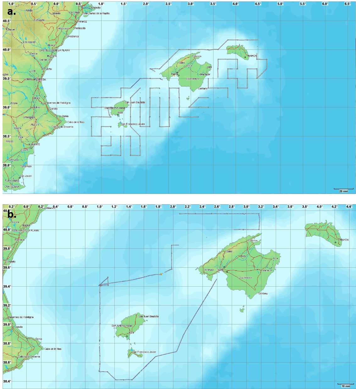
Figure 1. Maps showing the areas covered by the Simrad MS70 sonar in the 1st (a) and 2nd (b) cruise legs in the Balearic Sea around the islands Menorca, Mallorca and Ibiza.