


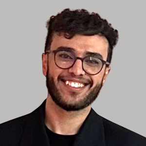
Ali Loulidi
Subjectarea
Benthic Ecology, Habitat Mapping, Spatio-Temporal Data Analysis, Video & Image Analysis with Computer Vision, Cloud Computing (Azure), and MLOps.
Curriculum Vitae
I hold a PhD in Marine Habitats Mapping supported by the EAF-Nansen Programme, focusing on coral distributions along the Moroccan coast, and a Master’s in GIS and Computer Science. My work leverages ROV imagery to map benthic ecosystems and investigate spatial patterns. To handle large-scale data, I implement AI workflows to automate organism detection in ROV videos, applying a mix of multivariate statistics, GIS, and spatio-temporal analysis to understand these environments
Is this your profile? Edit your profile (login)